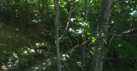
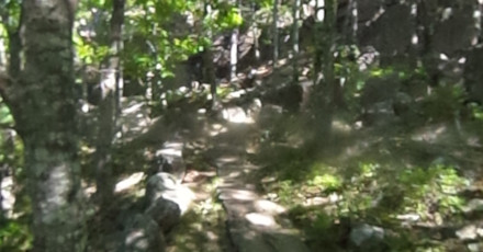
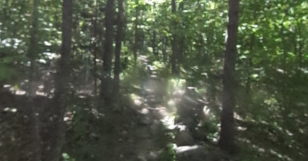
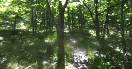
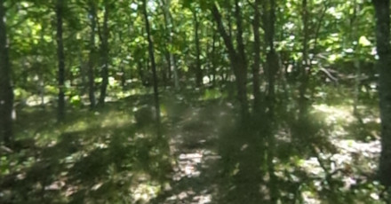
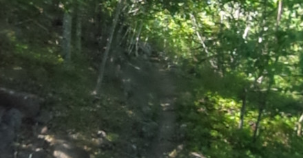
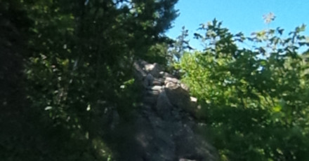
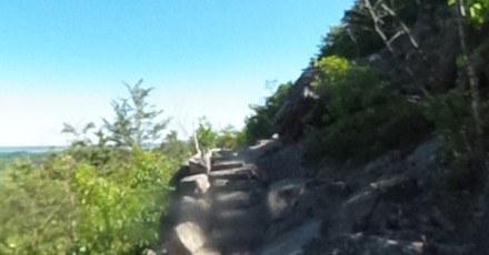
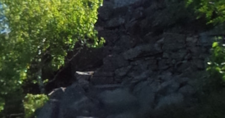
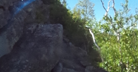
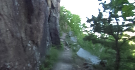
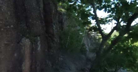
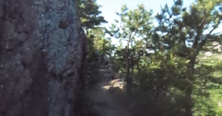
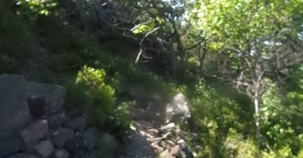
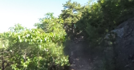
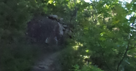
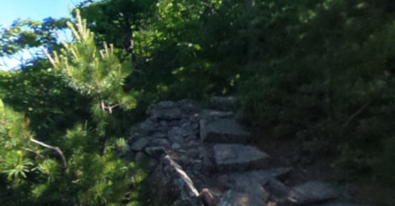
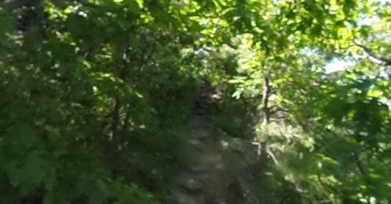
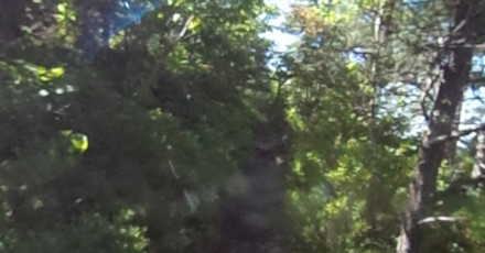
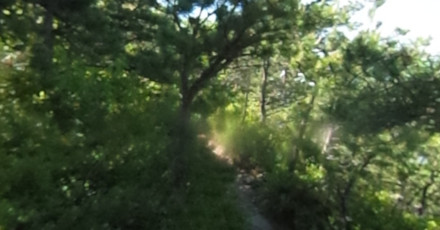
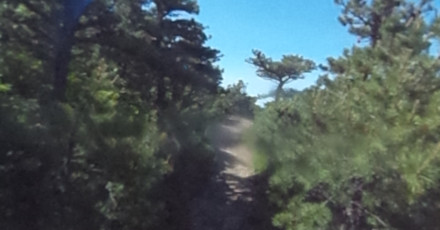
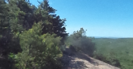
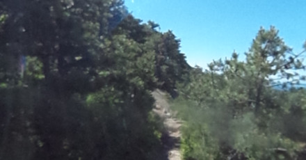
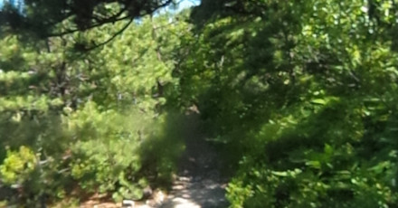
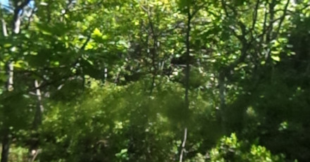
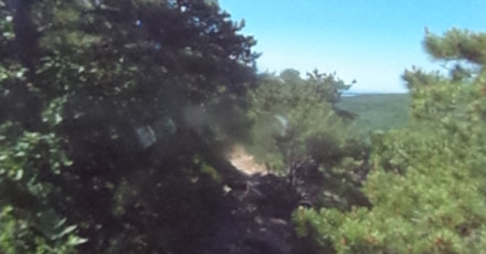
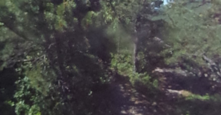
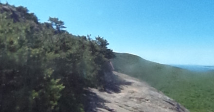
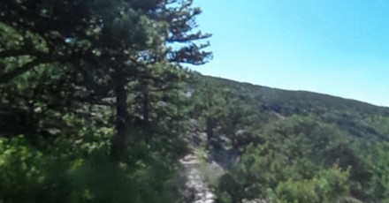
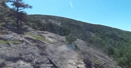
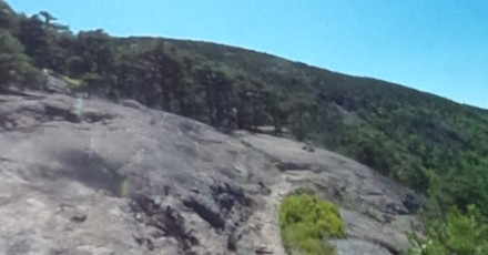
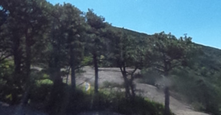
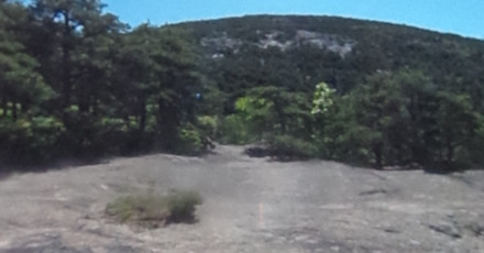
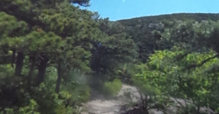
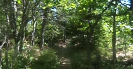
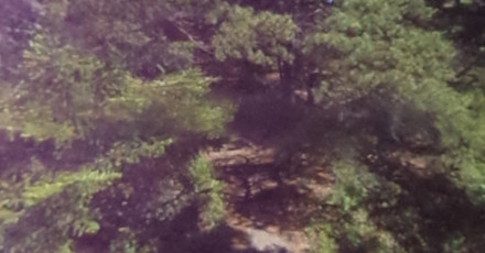
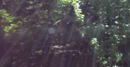
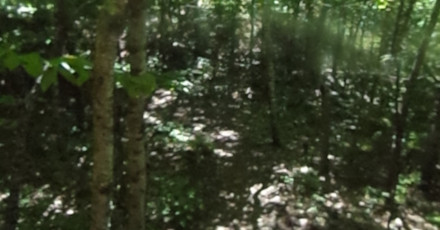
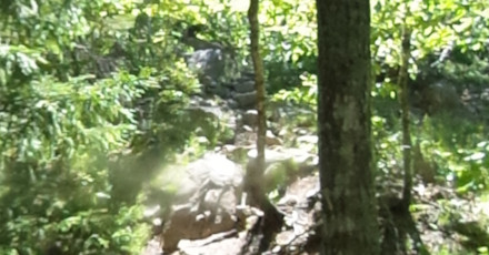
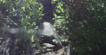
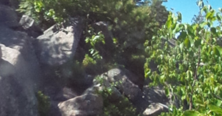
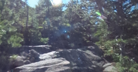
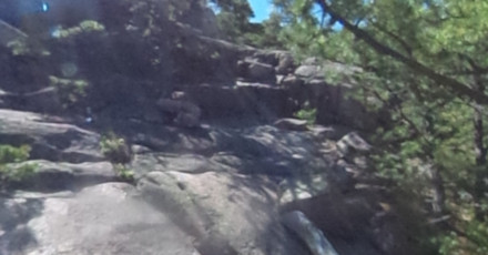
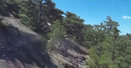
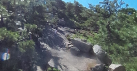
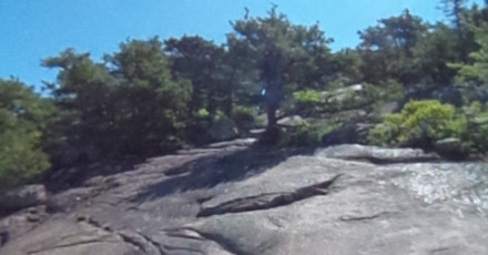
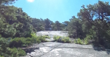
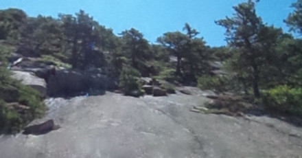
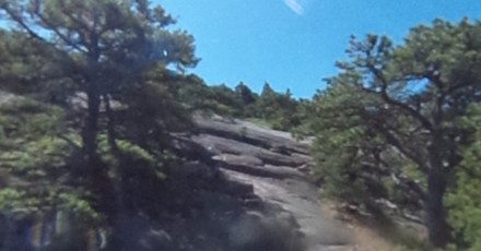
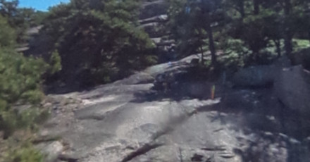
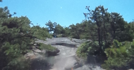
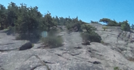
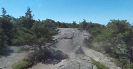
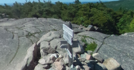
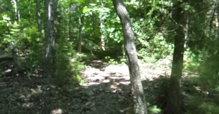
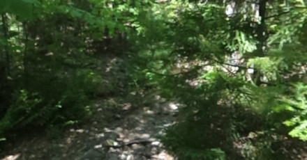
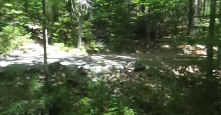
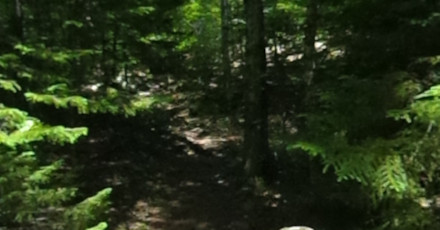
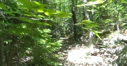
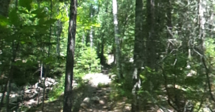
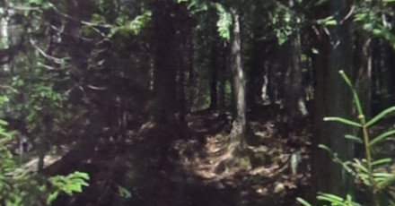
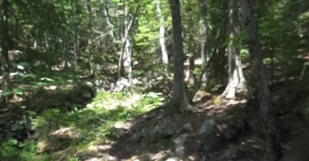
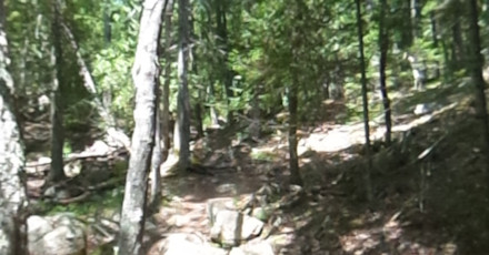
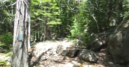
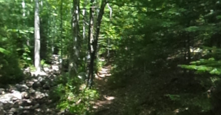
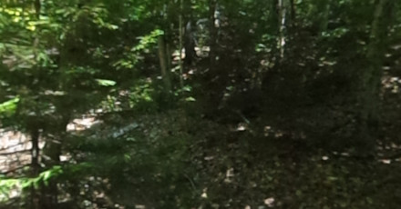
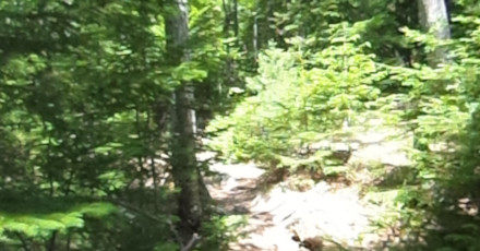
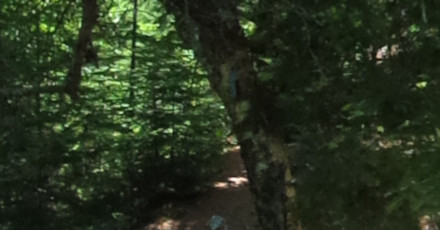
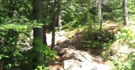
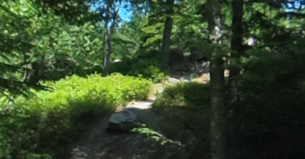
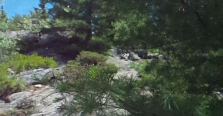
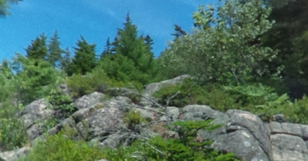
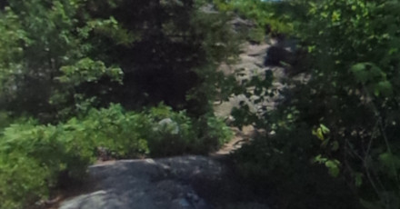
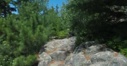
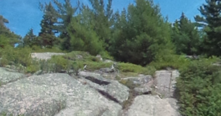
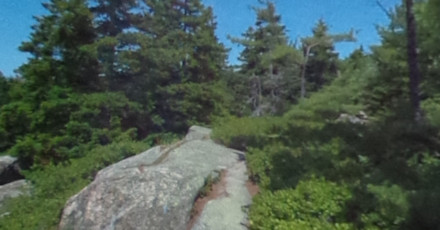
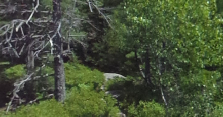
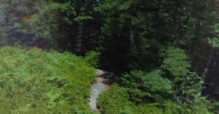
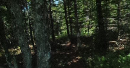
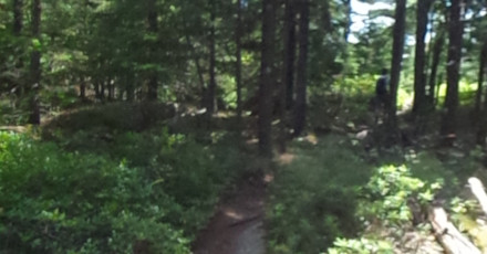
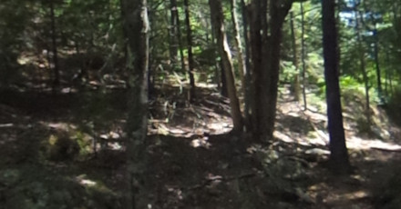
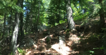
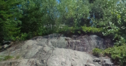
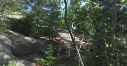
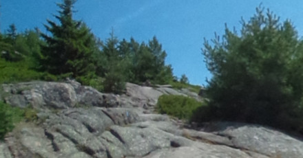
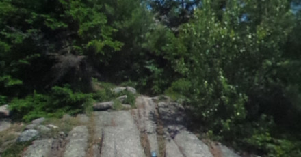
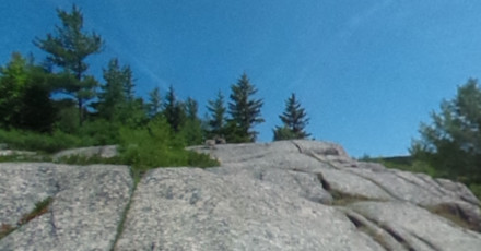
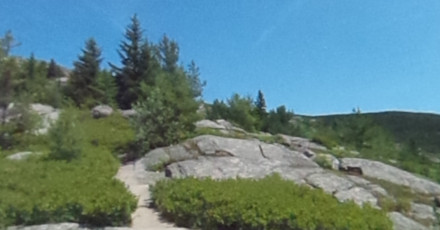
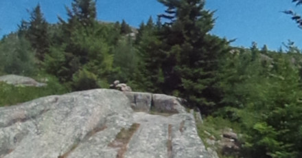
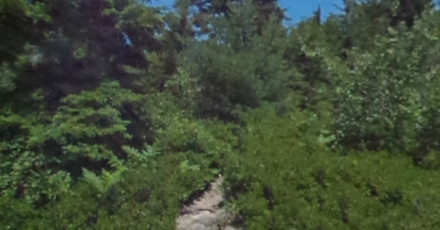
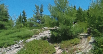
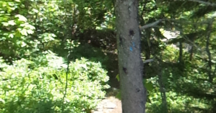
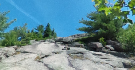
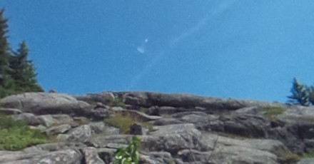
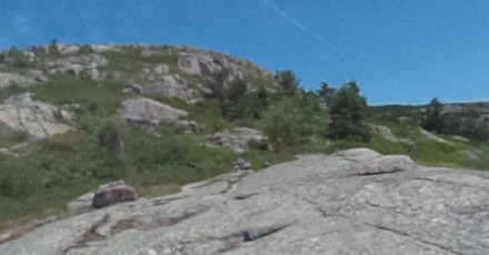
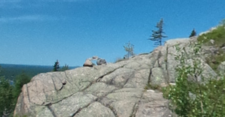
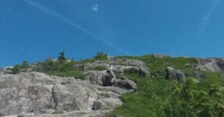
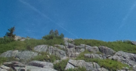
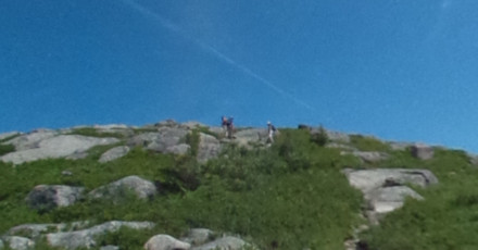
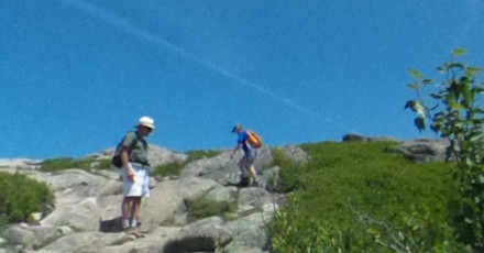
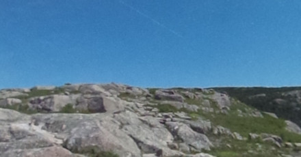
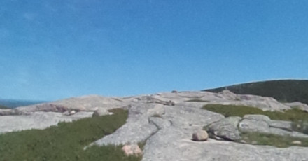
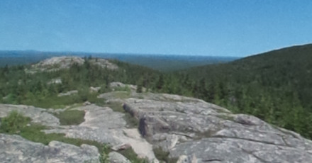
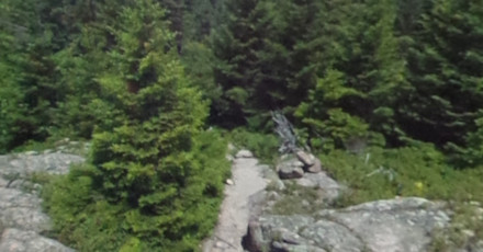
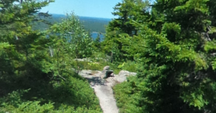
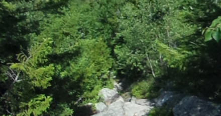
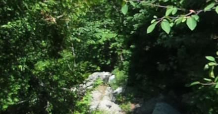
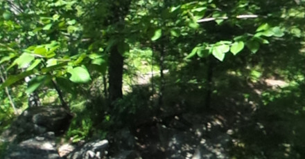
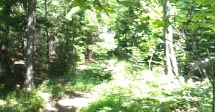
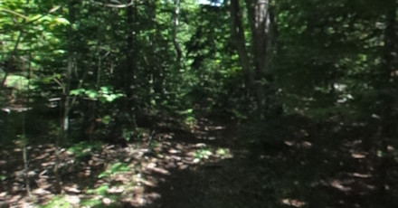
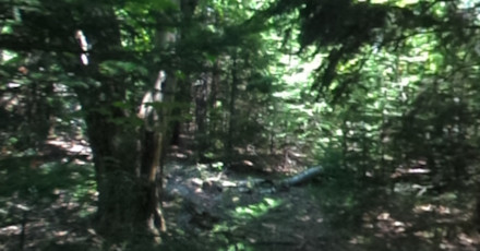
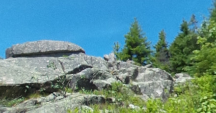
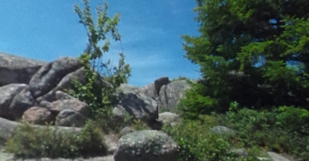
Bald Peak is a moderately trafficked out and back trail that is located near Northwest Harbor. The trail follows steam up a trail that goes up to Bald Peak through a forest. The Bald Peak connects to Parkman Mountain Trail, Hadlock Loop, and Hadlock Brook Trail.
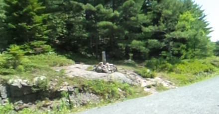
Parking is at Parkman Mountain Parking Area then hike the Hadlock Loop until you reach the trailhead of Bald Peak Trail.
2


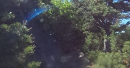
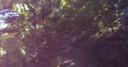
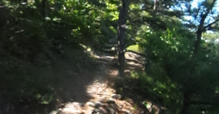
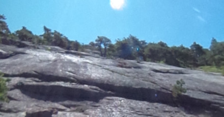
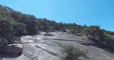
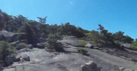
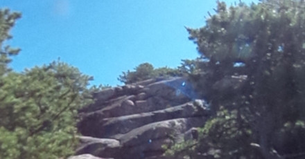
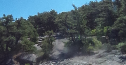
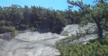
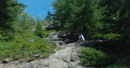
Bald Peak Trail
Bald Peak Trail
Trailhead

2

3
4
5

6
7
8
9
10

11
12

13
14
15

16
17
18
19

20
21

22

23
24

25

26
27
28
29
30
31
32
33
34
35
36
37

38
39
40
41
42
43
44

45
46

47
48
49

50
51
52

53
54
55
56

57
58
59

60
61
62
63

64
65

66
67
68
69
70
71

72
73

74

75
76

77

78
79

80

81
82
83

84

85

86
87
88

89
90
91

92

93
94
95

96
97
98

99

End


Hotspot text!
Trail Stats
| Difficulty | Medium |
| Length | 0.9 mi |
| Elevation Gain | 790 ft |
| Elevation Loss | 150 ft |

Find trails similar to this one by clicking the options below:
Difficulty
Length
Elevation Gain
Other
See how this trail has evolved over the years by looking at old TrailViews: