Great Head Trail

Great Head Trail is a heavily trafficked trail that is located north of Seal Harbor next to Sand Beach. It has great views of the coastline and many wooded sections of hiking. The Great Head Trail is rated a moderate difficulty.

Parking is at Great Head Trail Parking Area off of Schooler Head Road.

Loading...

Check out our archive page to see older versions of this TrailView!

Trail Stats

Length 1.5 mi
Difficulty Medium
Elevation Gain 350 ft
Elevation Loss 340 ft

Find trails similar to this one by clicking the options below:

Difficulty
Elevation Gain
Other

See how this trail has evolved over the years by looking at old TrailViews:

How would you rate this trail?

Harbor Brook Trail

Harbor Brook Trail is a moderately trafficked trail located near seal harbor and connects to Jordan Pond Path. This trail is easy and good for most people to hike on.

Parking is found along route 3 near trail-head near seal harbor.

Check out our archive page to see older versions of this TrailView! An updated TrailView is coming soon to this page.

Trail Stats

Length 1.7 mi
Difficulty Easy
Elevation Gain 210 ft
Elevation Loss 150 ft

Find trails similar to this one by clicking the options below:

Difficulty
Elevation Gain

See how this trail has evolved over the years by looking at old TrailViews:

How would you rate this trail?

Hio Road

Hio Road is an old fire road road near Seawall Campside primarily intended for campers to use as a leisurely hiking trail.


A TrailView is coming soon to this page!

Trail Stats

Length 2.0 mi
Difficulty Easy
Elevation Gain 120 ft
Elevation Loss 90 ft

Find trails similar to this one by clicking the options below:

Difficulty
Elevation Gain

See how this trail has evolved over the years by looking at old TrailViews:

How would you rate this trail?

Seaside Path

Seaside path is a moderately trafficked trail that starts near Jordan Pond house carriage road. This trail follows along Stanly brook road outside of the park to Route 3. This path is easy and has minimal elevation change. The trail ends near Seaside Lane.

Park at Jordan Pond and walk towards carriage roads to access Seaside Path.


Check out our archive page to see older versions of this TrailView! An updated TrailView is coming soon to this page.

Trail Stats

Length 1.6 mi
Difficulty Easy
Elevation Gain 260 ft
Elevation Loss 20 ft

Find trails similar to this one by clicking the options below:

Difficulty
Elevation Gain

See how this trail has evolved over the years by looking at old TrailViews:

How would you rate this trail?

Lower Harbor Trail

Lower Harbor Trail is a lightly trafficked trail located near Winter Harbor across the harbor from the rest of Acadia National Park. Lower Harbor Trail is over the water giving you good views during the hike. The Lower Harbor Trail connects to Buck Cove Mountain Trail. Lower Harbor Trail is about 2.8 miles long and is good for all skill levels of hikers.

Parking at Schoodic Woods Campground and on Farview Drive right by the trailhead.

Check out our archive page to see older versions of this TrailView! An updated TrailView is coming soon to this page.

Trail Stats

Length 1.4 mi
Difficulty Easy
Elevation Gain 260 ft
Elevation Loss 240 ft

Find trails similar to this one by clicking the options below:

Difficulty
Elevation Gain

See how this trail has evolved over the years by looking at old TrailViews:

How would you rate this trail?

Norumbega Mountain Trail

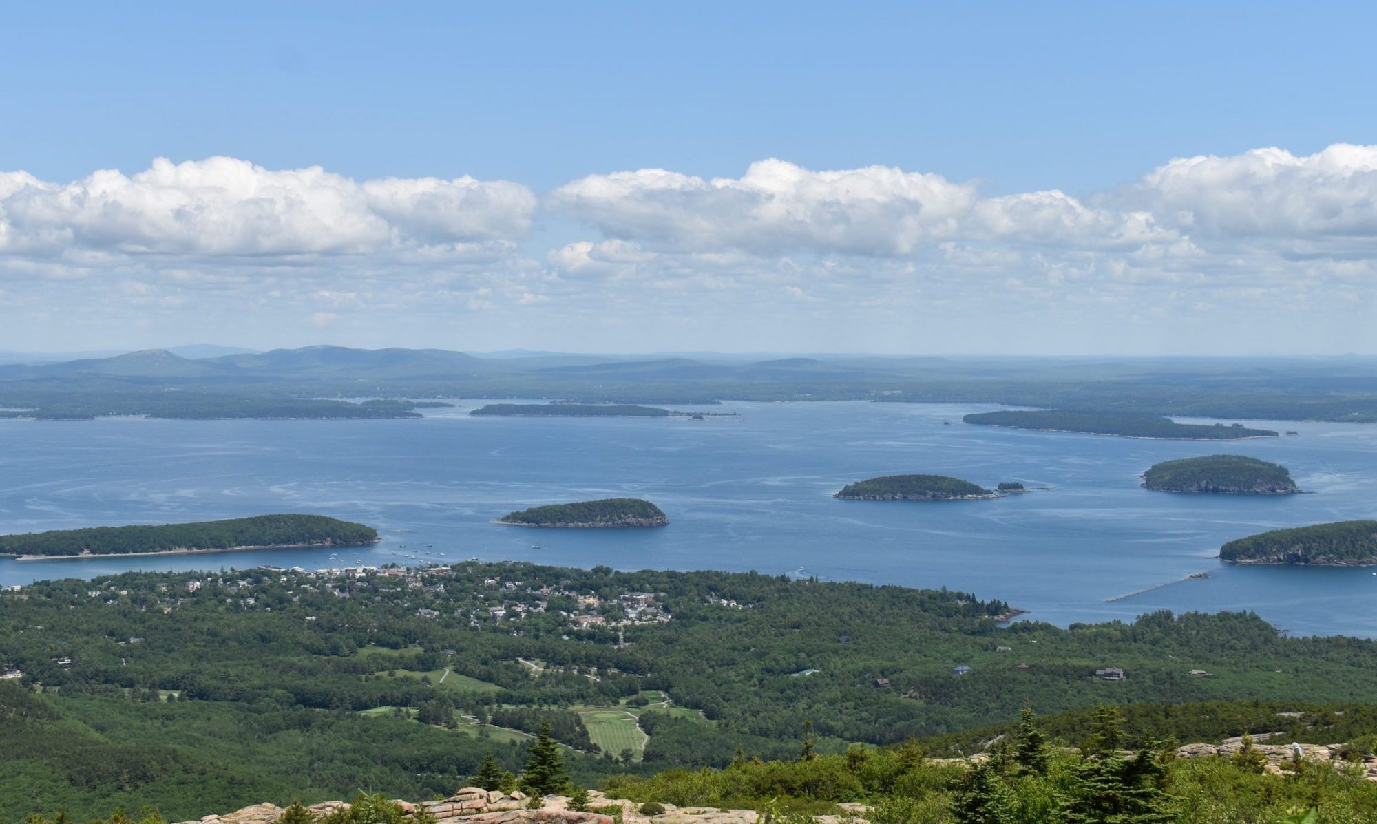
Norumbega Mountain Trail is a moderately trafficked trail that is located near Northwest Harbor. The trail is a nice walk through the woods then the tree thins out leading up to Norumbega Mountain Peak giving great views of the park. The Norumbega Mountain Trail connects to the Goat Trail, Golf Course Trail, and Hadlock Pond Trail. The Norumbega Mountain Trail is rated a moderate difficulty.

Parking is at Norumbega Mountain Pull off Parking Area then walk down Goat Trail.

Check out our archive page to see older versions of this TrailView! An updated TrailView is coming soon to this page.

Trail Stats

Length 1.2 mi
Difficulty Medium
Elevation Gain 700 ft
Elevation Loss 60 ft

Find trails similar to this one by clicking the options below:

See how this trail has evolved over the years by looking at old TrailViews:
How would you rate this trail?

Parkman Mountain Trail

Parkman Mountain Trail is a moderately trafficked trail that is located near Northwest Harbor. The trail is a nice wooded hike that brings hikers up to the peak of Parkman Mountain that has great views of the park. Parkman Mountain Trail connects to Hadlock Brook Trail, Hadlock Loop, Upper Mountain Trail, Bald Peak Trail, Parkman Mountain Connector, and Giant Slide Trail. The Parkman Mountain Trail is rated as moderate difficulty.

Parking is at Parkman Mountain Parking Area off of State Route 3.

Check out our archive page to see older versions of this TrailView! An updated TrailView is coming soon to this page.

Trail Stats

Length 1.8 mi
Difficulty Medium
Elevation Gain 750 ft
Elevation Loss 490 ft

Find trails similar to this one by clicking the options below:

See how this trail has evolved over the years by looking at old TrailViews:

How would you rate this trail?

Pemetic North Ridge Trail

Pemetic North Ridge Trail is a moderately trafficked trail that is located by Jordan Pond near Bar Harbor. The trail starts in a large pine forest and climbs up to the peak of Pemetic Mountain that gives you a great 360-degree view of the park. Pemetic North Ridge Trail connects to Pemetic Northwest Trail, Pemetic South Ridge Trail, and Bubbles/ Wildwoods. The Pemetic North Ridge Trail is rated an advanced difficulty.

Bubble Pond Parking Area off of Park Loop Road.

Check out our archive page to see older versions of this TrailView! An updated TrailView is coming soon to this page.

Trail Stats

Length 1.1 mi
Difficulty Hard
Elevation Gain 980 ft
Elevation Loss 70 ft

Find trails similar to this one by clicking the options below:

Difficulty
Elevation Gain

See how this trail has evolved over the years by looking at old TrailViews:

How would you rate this trail?

Ship Harbor Nature Trail

The Ship Harbor Nature Trail is a lightly trafficked loop trail near the Bass Harbor Lighthouse. This trail is great for bird watching, as many species live in this area.

Parking is available at the trail head, on Route 102A.

Check out our archive page to see older versions of this TrailView! An updated TrailView is coming soon to this page.

Trail Stats

Length 1.3 mi
Difficulty Easy
Elevation Gain 190 ft
Elevation Loss 190 ft

Find trails similar to this one by clicking the options below:

Difficulty
Elevation Gain
Other

See how this trail has evolved over the years by looking at old TrailViews:

How would you rate this trail?

St. Sauveur Trail

St Sauveur Trail is a moderately trafficked trail that is located near Southwest Harbor. The trail takes hikers through a dense pine forest that goes up to St Sauveur Peak. The St Sauveur Trail connects to Man O’ War Fire Road, Acadia Mountain Trail, and Valley Peak Trail. The St Sauveur Trail is rated a moderate difficulty.

Parking is at Acadia Mountain Parking Area off of Main Street.

Check out our archive page to see older versions of this TrailView! An updated TrailView is coming soon to this page.

Trail Stats

Length 1.6 mi
Difficulty Medium
Elevation Gain 620 ft
Elevation Loss 310 ft

Find trails similar to this one by clicking the options below:

See how this trail has evolved over the years by looking at old TrailViews:

How would you rate this trail?