Dorr North Ridge Trail

Dorr North Ridge Trail is a moderately trafficked trail that is located near Bar Harbor. The trail starts in a nice wooded forest and goes up past the tree line close to the peak of Dorr Mountain. The Dorr North Ridge Trail connects with Hemlock Trail, Kebo Mountain Trail, Cadillac-Dorr Connector, Schiff Path, and Dorr Mountain Ladder Trail. The Dorr North Ridge Trail is rated a moderate difficulty.

Parking is at George Path Parking area then walks down George Path to Hemlock Trail to Dorr North Ridge Trail.

Check out our archive page to see older versions of this TrailView! An updated TrailView is coming soon to this page.

Trail Stats

Length 0.8 mi
Difficulty Medium
Elevation Gain 970 ft
Elevation Loss 0 ft

Find trails similar to this one by clicking the options below:

Difficulty
Elevation Gain

See how this trail has evolved over the years by looking at old TrailViews:

How would you rate this trail?

Day Mountain Trail

Day Mountain Trail is a moderately trafficked trail located near Seal Harbor. The trail features nice wooded hiking with some good views from the peak of Day Mountain. Day Mountain Trail connects with Day Mountain Loop, Bubble/ wildwood, and Triad Trail. The Trail is about 1.3 miles long and is good for all skill levels.

Parking is on Champlain Road and a 0.8-mile hike from the parking area to the trail.

Check out our archive page to see older versions of this TrailView! An updated TrailView is coming soon to this page.

Trail Stats

Length 1.3 mi
Difficulty Easy
Elevation Gain 370 ft
Elevation Loss 350 ft

Find trails similar to this one by clicking the options below:

Difficulty
Elevation Gain

See how this trail has evolved over the years by looking at old TrailViews:

How would you rate this trail?

Dorr South Ridge Trail

Dorr South Ridge Trail is a moderately hiked trail that is located near Bar Harbor. The trail is a steep hike that brings hikers from the bottom of Dorr Mountain to the peak. Dorr South Ridge Trail connects to Canon Brook trail, Schiff Path, Dorr North Ridge Trail. The Dorr South Ridge Trail is rated an advanced difficulty.

Parking is at Canon Brook Trail Park Area off of Otter Creek Drive, then have to hike down Canon Brook Trail till you get to Dorr South Ridge Trail.

Loading...

Trail Stats

Length 1.3 mi
Difficulty Medium
Elevation Gain 1050 ft
Elevation Loss 40 ft

Find trails similar to this one by clicking the options below:

Difficulty
Elevation Gain

See how this trail has evolved over the years by looking at old TrailViews:

How would you rate this trail?

Flying Mountain Trail

Flying Mountain Trail is a dog-friendly trail located in southwest harbor. It is a 1.5-mile trail one way and has great trees around it. This trail connects to Valley Cove road which can make a loop back to the trailhead parking area.

Parking is at the Flying Mountain Trailhead at Fernald Point Road.

Check out our archive page to see older versions of this TrailView! An updated TrailView is coming soon to this page.

Trail Stats

Length 0.9 mi
Difficulty Medium
Elevation Gain 300 ft
Elevation Loss 270 ft

Find trails similar to this one by clicking the options below:

See how this trail has evolved over the years by looking at old TrailViews:

How would you rate this trail?

Eliot Mountain Trail

Eliot Mountain Trail is a lightly trafficked trail near seal harbor. This trail is rated as moderate and goes up a mountain to Eliot Mountain Summit. The trail goes through the woods and has a good view of seal harbor if reached the top.

Parking is on side of route 3 near Eliot Mountain Trail Head.

Check out our archive page to see older versions of this TrailView! An updated TrailView is coming soon to this page.

Trail Stats

Length 1.0 mi
Difficulty Medium
Elevation Gain 400 ft
Elevation Loss 30 ft

Find trails similar to this one by clicking the options below:

See how this trail has evolved over the years by looking at old TrailViews:

How would you rate this trail?

Goat Trail

Goat Trail is a moderately trafficked trail that is located near Northeast Harbor. Goat Trail is a steep trail that goes up to Norumbega Mountain. It is a rocky path that is quite physically demanding but it is worth it for the views you get along the trail and at the peak of Norumbega Mountain. Goat Trail connects to Norumbega Mountain Trail and Norumbega Connector.

Parking is at Norumbega Mountain Pull off Parking area on State Route 3.

Check out our archive page to see older versions of this TrailView! An updated TrailView is coming soon to this page.

Trail Stats

Length 0.6 mi
Difficulty Hard
Elevation Gain 580 ft
Elevation Loss 10 ft

Find trails similar to this one by clicking the options below:

Difficulty
Elevation Gain

See how this trail has evolved over the years by looking at old TrailViews:

How would you rate this trail?

Gorham Mountain Trail

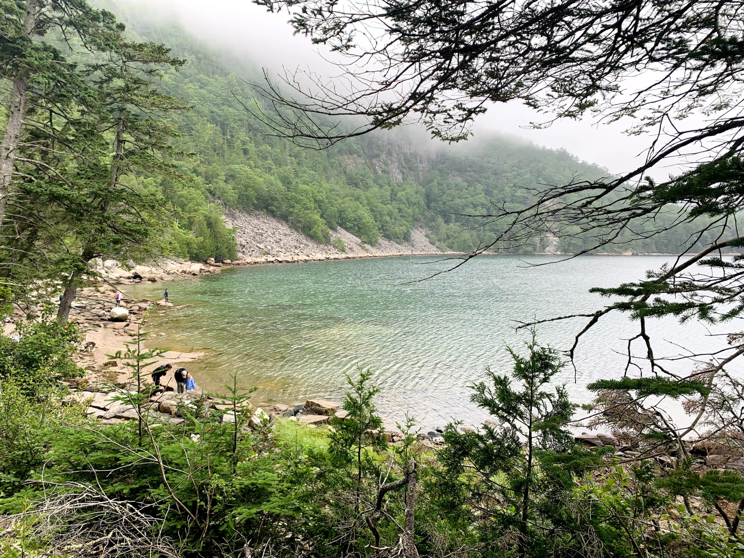
Gorham Mountain Trail is a moderately trafficked trail that is located near Bar Harbor. The trail takes hikers up Gorham Mountain, through the woods then opens up and gives great views of the ocean. Gorham Mountain Trail connects to Ocean Path, Cadillac Cliff Path, Gorham Mountain Access, and the Bowl Trail.

Parking is at Gorham Mountain Trailhead Parking off of Park Loop Road.

Check out our archive page to see older versions of this TrailView! An updated TrailView is coming soon to this page.

Trail Stats

Length 1.5 mi
Difficulty Medium
Elevation Gain 590 ft
Elevation Loss 340 ft

Find trails similar to this one by clicking the options below:

See how this trail has evolved over the years by looking at old TrailViews:
How would you rate this trail?

Grandgent Trail

Grandgent Trail is a moderately trafficked trail that is located by Sargent Mountain near Bar Harbor. The trail is a rocky wooded hike that goes through a pine forest that goes up to Grandgent Peak. The Grandgent Trail connects to Giant Slide, Sargent South Ridge Trail, Sargent East Cliff Trail, and Sargent Northwest Trail.

Parking is at Giant Slide Parking Area off of Sound Drive then walk down Giant Slide trail until you reach Grandgent Trail.

Check out our archive page to see older versions of this TrailView! An updated TrailView is coming soon to this page.

Trail Stats

Length 0.6 mi
Difficulty Hard
Elevation Gain 310 ft
Elevation Loss 310 ft

Find trails similar to this one by clicking the options below:

Difficulty
Elevation Gain

See how this trail has evolved over the years by looking at old TrailViews:

How would you rate this trail?

Beachcroft Path

Beachcroft Path is a moderately trafficked out and back trail that is located near Bar Harbor. The trail starts in the woods and leads to stone steps with a good view of the valley. At the summit of Champlain Mountain, there are great views of the park below. The Beachcroft Path connects to Jesup path, Kurt Diederich's Climb, Kane Path, Champlain North Ridge Trail, and Champlain South Ridge Trail.

TRAIL VIEW SAYS TRAIL INSTEAD OF PATH

Parking is at Beachcroft Path Parking Area on Otter Creek Drive.

Loading...

Trail Stats

Difficulty Hard
Length 1.0 mi
Elevation Gain 990 ft
Elevation Loss 50 ft

Find trails similar to this one by clicking the options below:

Difficulty
Elevation Gain

See how this trail has evolved over the years by looking at old TrailViews:

How would you rate this trail?

Bald Peak

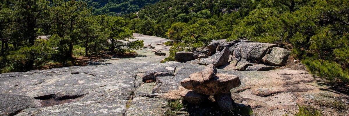
Bald Peak is a moderately trafficked out and back trail that is located near Northwest Harbor. The trail follows steam up a trail that goes up to Bald Peak through a forest. The Bald Peak connects to Parkman Mountain Trail, Hadlock Loop, and Hadlock Brook Trail.

Parking is at Parkman Mountain Parking Area then hike the Hadlock Loop until you reach the trailhead of Bald Peak Trail.

Loading...

Trail Stats

Difficulty Medium
Length 0.9 mi
Elevation Gain 790 ft
Elevation Loss 150 ft

Find trails similar to this one by clicking the options below:

See how this trail has evolved over the years by looking at old TrailViews:
How would you rate this trail?