Asticou & Jordan Pond Path

Asticou and Jordan Pond Path is a moderately trafficked out and back trail that is located near Northwest Harbor. The trail is a casual hike that goes over stone stairs and wooden bridges through a nice wooded forest. The Asticou and Jordan Pond Path connects to Sargent South Ridge Trail, Penobscot Mountain Trail, Lower Amphitheatre, and Spring Trail. The Asticou and Jordan Pond Path is rated a moderate difficulty.

Parking is at Jordan Pond Path Parking Area off of Park Loop Road then go to Spring Trail over to Asticou and Jordan Pond Path.

Check out our archive page to see older versions of this TrailView! An updated TrailView is coming soon to this page.

Trail Stats

Difficulty Medium
Length 2.0 mi
Elevation Gain 360 ft
Elevation Loss 340 ft

Find trails similar to this one by clicking the options below:

Difficulty
Elevation Gain

See how this trail has evolved over the years by looking at old TrailViews:

How would you rate this trail?

Beech Mountain South Ridge Trail

Beech Mountain South Ridge Trail is a moderately trafficked trail located next to Long Pond near Southwest Harbor and has a fire tower perched at the summit. The trail takes you through a wooded forested valley then you ascend to the Beech Mountain peak. The Beech Mountain South Ridge Trail connects to Valley Trail and Beech Mountain Trail. Beech Mountain South Ridge Trail is rated a moderate difficulty.

Long Pond Parking Area off of Long Pond Road then walk down Valley Trail.

Loading...

Trail Stats

Difficulty Medium
Length 0.8 mi
Elevation Gain 500 ft
Elevation Loss 50 ft

Find trails similar to this one by clicking the options below:

See how this trail has evolved over the years by looking at old TrailViews:

How would you rate this trail?

Beech Mountain Loop

Beech Mountain Loop is a heavily trafficked trail that is located between Long Pond and Echo Lake near Southwest Harbor. This trail features a hike through a forest valley that ascends to Beech Mountain. The Beech Mountain Loop connects to the Beech South Ridge Trail, Valley Trail, and Beech Cliff Loop. Beech Mountain Loop is rated a moderate difficulty.

Beech Mountain Trail Parking off of Beech Hill Road.

Check out our archive page to see older versions of this TrailView! An updated TrailView is coming soon to this page.

Trail Stats

Difficulty Medium
Length 1.2 mi
Elevation Gain 420 ft
Elevation Loss 420 ft

Find trails similar to this one by clicking the options below:

See how this trail has evolved over the years by looking at old TrailViews:

How would you rate this trail?

Bowl Trail

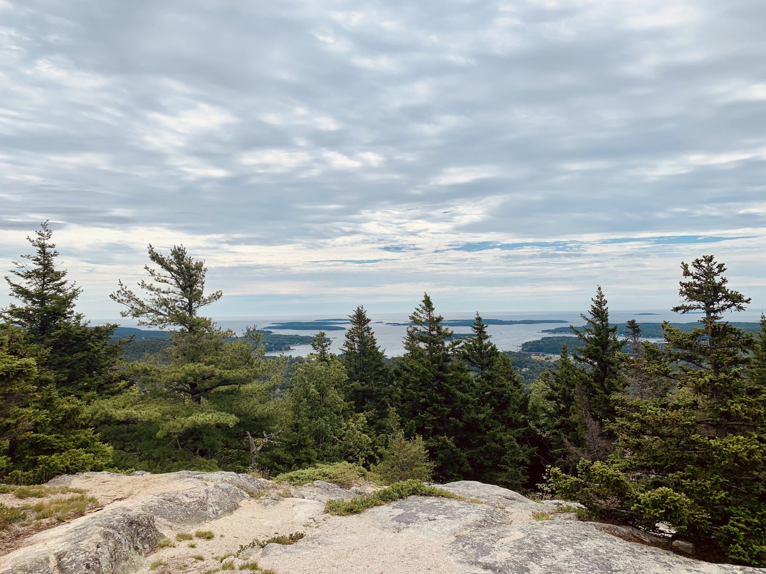
Bowl Trail is a moderately trafficked trail that is located near Bar Harbor. This trail is a rewarding hike through a wooded area that goes up to Bowl lake and its picnic area. The Bowl Trail connects to Champlain South Ridge Trail, Beehive Trail, and Gorham Mountain Trail.

Parking is at Beehive Trailhead Parking Area off of Park Loop road

Check out our archive page to see older versions of this TrailView! An updated TrailView is coming soon to this page.

Trail Stats

Difficulty Medium
Length 0.5 mi
Elevation Gain 290 ft
Elevation Loss 40 ft

Find trails similar to this one by clicking the options below:

See how this trail has evolved over the years by looking at old TrailViews:
How would you rate this trail?

Birch Spring Trail

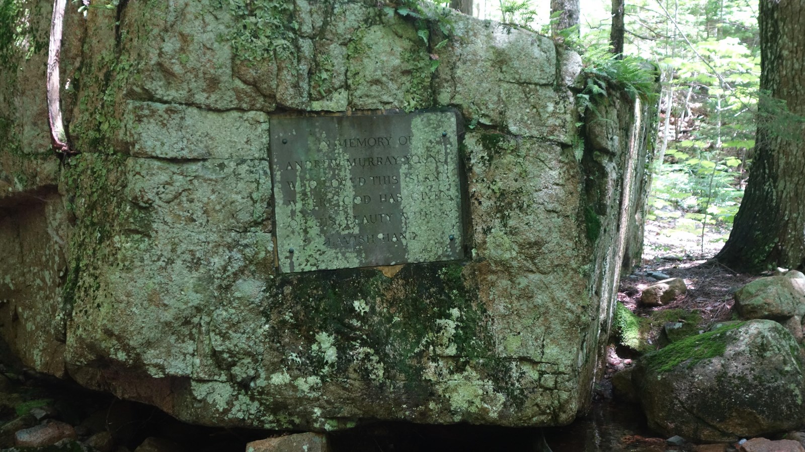
Birch Spring Trail is a moderately trafficked out and back trail that is located by Jordan Pond near Seal Harbor. The trail is a nice hike through a spruce forest and is used more as a connector trail. The Birch Spring Trail connects Jordan Stream Trail, Asticou & Jordan Pond Path, Jordan Cliff Trail, and Penobscot Mountain Trail. Birch Spring Trail is rated a moderate difficulty.

Parking is at Jordan Pond House Parking Area off of Park Loop Road.

Check out our archive page to see older versions of this TrailView! An updated TrailView is coming soon to this page.

Trail Stats

Difficulty Medium
Length 0.3 mi
Elevation Gain 180 ft
Elevation Loss 40 ft

Find trails similar to this one by clicking the options below:

Difficulty
Elevation Gain

See how this trail has evolved over the years by looking at old TrailViews:
How would you rate this trail?

Bubble & Jordan Pond Path

Bubbles and Jordan Pond Path is a moderately trafficked trail that is located by Jordan Pond near Seal Harbor. The trail takes hikers through a nice wooded forest path that starts at Jordan Pond and ends at Cannon Brook trail. Bubbles and Jordan Pond Path connects to Canon Brook Trail, Pemetic East Cliff Trail, Triad Trail, Pemetic South Ridge Trail, Triad Pass, and Jordan Pond Path.

Parking is at Jordan Pond Path Parking Area off of Park Loop Road then hike down Jordan Pond Nature trail to Jordan Pond Path.

Check out our archive page to see older versions of this TrailView! An updated TrailView is coming soon to this page.

Trail Stats

Difficulty Medium
Length 2.1 mi
Elevation Gain 1000 ft
Elevation Loss 280 ft

Find trails similar to this one by clicking the options below:

Difficulty
Elevation Gain

See how this trail has evolved over the years by looking at old TrailViews:

How would you rate this trail?

A. Murray Young Path

A. Murray Young Path is a moderately trafficked trail that is located between Cadillac Mountain and Dorr Mountain. The trail starts out mellow and goes through a wooded path into a gorge. The end of the trail is rugged and has hikers walking through a series of rough rocks. A. Murray Young Path connects to Gorge Path, Cadillac-Dorr Connecter, and Canon Brook Trail. Dogs are allowed on this trail.

Canon Brook Trail Parking Area off of Otter Creek Drive then walk down Canon Brook Trail.

Loading...

Trail Stats

Difficulty Medium
Length 1.2 mi
Elevation Gain 830 ft
Elevation Loss 20 ft

Find trails similar to this one by clicking the options below:

Difficulty
Elevation Gain

See how this trail has evolved over the years by looking at old TrailViews:

How would you rate this trail?

Homans Path

Homans Path is a moderately trafficked path that is located near Bar Harbor. Homans Path is used more as a connecting trail since it is only 0.3 miles long. The Homans Path connects to Jessup Path and Emery Path.

Parking is at Sieur de Monts Nature Center Parking Area SweetWater Circle at the Nature Center.

Loading...

Trail Stats

Length 0.3 mi
Difficulty Medium
Elevation Gain 340 ft
Elevation Loss 0 ft

Find trails similar to this one by clicking the options below:

Difficulty
Elevation Gain

See how this trail has evolved over the years by looking at old TrailViews:

How would you rate this trail?