Hadlock Brook Trail

Hadlock Brook Trail is a moderately trafficked trail that is located near Northeast Harbor. The trail is a nice wooded hike that features bridges and waterfalls. From the Hadlock Brook Trail, hikers can access Bald peak Trail, Hadlock Loop, Parkman Mountain via Hadlock Falls, and Sargent South Ridge Trail. The Hadlock Brook Trail is rated an advanced difficulty.

Parking is at Norumbega Mountain Pull parking off of State Route 3.

Check out our archive page to see older versions of this TrailView! An updated TrailView is coming soon to this page.

Trail Stats

Length 1.2 mi
Difficulty Hard
Elevation Gain 980 ft
Elevation Loss 50 ft

Find trails similar to this one by clicking the options below:

Difficulty
Elevation Gain

See how this trail has evolved over the years by looking at old TrailViews:

How would you rate this trail?

Hunters Brook Trail

Hunters Brook Trail is a lightly trafficked trail that is located by Jordan Pond near Seal Harbor. The trail takes hikers through a dense forest setting that goes up the east face of the triads. The Hunters Brook Trail connects to Triads Pass and Triads Trail. The Hunters Brook Trail is rated a moderate difficulty.

Parking is at Woodland Stables Parking Area off of Dane Farm Road then walk down Jordan Wildwood.


Check out our archive page to see older versions of this TrailView! An updated TrailView is coming soon to this page.

Trail Stats

Length 2.4 mi
Difficulty Medium
Elevation Gain 830 ft
Elevation Loss 560 ft

Find trails similar to this one by clicking the options below:

Difficulty
Elevation Gain

See how this trail has evolved over the years by looking at old TrailViews:

How would you rate this trail?

West Ledge Trail

West Ledge Trail is a moderately trafficked out and back trail that is located near Southwest Harbor. The trail is a nice hike with some elevation through a pine forest. The West Ledge Trail connects to the Bernard Mountain Trail that leads up to the summit of Bernard Mountain.

Parking is on Seal Cove Road.


Check out our archive page to see older versions of this TrailView! An updated TrailView is coming soon to this page.

Trail Stats

Length 0.9 mi
Difficulty Medium
Elevation Gain 810 ft
Elevation Loss 40 ft

Find trails similar to this one by clicking the options below:

Difficulty
Elevation Gain

See how this trail has evolved over the years by looking at old TrailViews:

How would you rate this trail?

Beachcroft Path

Beachcroft Path is a moderately trafficked out and back trail that is located near Bar Harbor. The trail starts in the woods and leads to stone steps with a good view of the valley. At the summit of Champlain Mountain, there are great views of the park below. The Beachcroft Path connects to Jesup path, Kurt Diederich's Climb, Kane Path, Champlain North Ridge Trail, and Champlain South Ridge Trail.

TRAIL VIEW SAYS TRAIL INSTEAD OF PATH

Parking is at Beachcroft Path Parking Area on Otter Creek Drive.

Loading...

Trail Stats

Difficulty Hard
Length 1.0 mi
Elevation Gain 990 ft
Elevation Loss 50 ft

Find trails similar to this one by clicking the options below:

Difficulty
Elevation Gain

See how this trail has evolved over the years by looking at old TrailViews:

How would you rate this trail?

Bald Peak

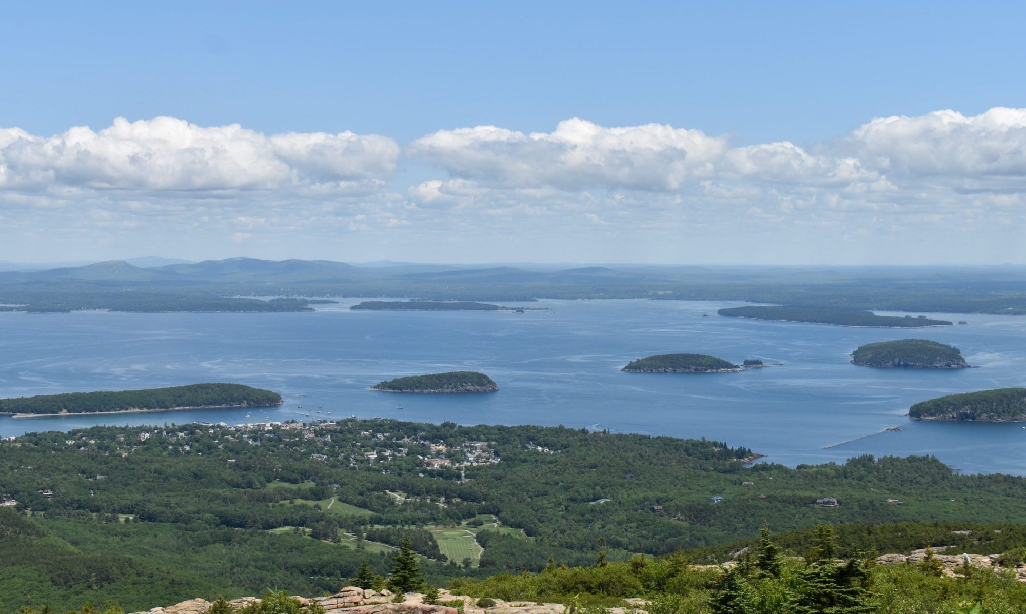
Bald Peak is a moderately trafficked out and back trail that is located near Northwest Harbor. The trail follows steam up a trail that goes up to Bald Peak through a forest. The Bald Peak connects to Parkman Mountain Trail, Hadlock Loop, and Hadlock Brook Trail.

Parking is at Parkman Mountain Parking Area then hike the Hadlock Loop until you reach the trailhead of Bald Peak Trail.

Loading...

Trail Stats

Difficulty Medium
Length 0.9 mi
Elevation Gain 790 ft
Elevation Loss 150 ft

Find trails similar to this one by clicking the options below:

See how this trail has evolved over the years by looking at old TrailViews:
How would you rate this trail?

Bernard Mountain Trail

The Bernard Mountain Trail, located on the western half of Mt. Desert Island, is a short, hilly hike. It can be turned into a loop by turning onto either the Sluiceway Trail or the Great Notch Trail.

Mill Field parking area.

Loading...

Trail Stats

Difficulty Hard
Length 2 mi
Elevation Gain 1060 ft
Elevation Loss 570 ft

Find trails similar to this one by clicking the options below:

Difficulty
Elevation Gain

See how this trail has evolved over the years by looking at old TrailViews:

How would you rate this trail?

Bubble & Jordan Pond Path

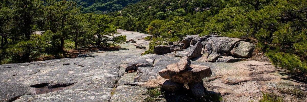
Bubbles and Jordan Pond Path is a moderately trafficked trail that is located by Jordan Pond near Seal Harbor. The trail takes hikers through a nice wooded forest path that starts at Jordan Pond and ends at Cannon Brook trail. Bubbles and Jordan Pond Path connects to Canon Brook Trail, Pemetic East Cliff Trail, Triad Trail, Pemetic South Ridge Trail, Triad Pass, and Jordan Pond Path.

Parking is at Jordan Pond Path Parking Area off of Park Loop Road then hike down Jordan Pond Nature trail to Jordan Pond Path.

Check out our archive page to see older versions of this TrailView! An updated TrailView is coming soon to this page.

Trail Stats

Difficulty Medium
Length 2.1 mi
Elevation Gain 1000 ft
Elevation Loss 280 ft

Find trails similar to this one by clicking the options below:

Difficulty
Elevation Gain

See how this trail has evolved over the years by looking at old TrailViews:
How would you rate this trail?

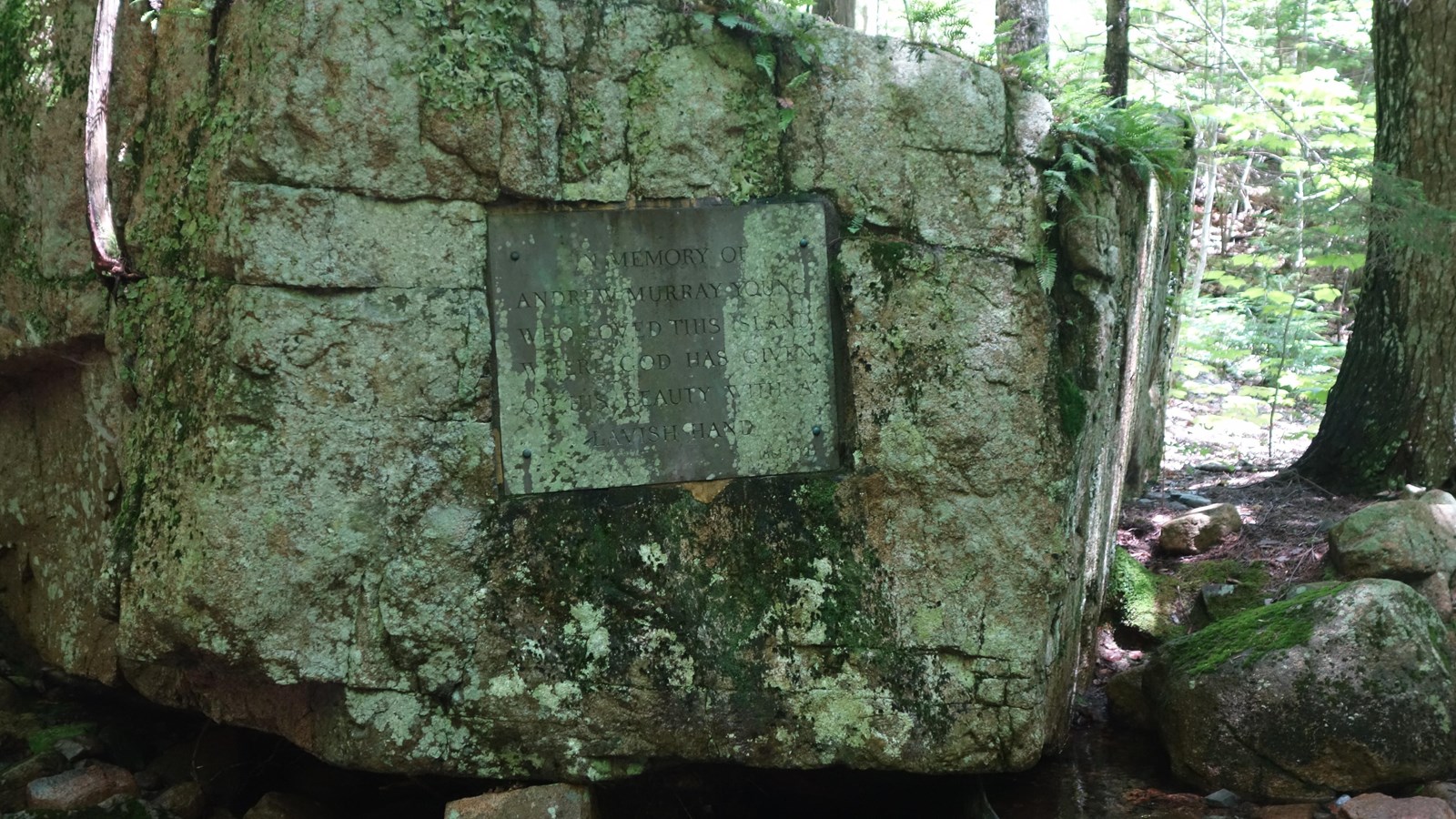
A. Murray Young Path

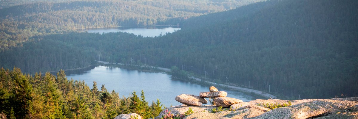
A. Murray Young Path is a moderately trafficked trail that is located between Cadillac Mountain and Dorr Mountain. The trail starts out mellow and goes through a wooded path into a gorge. The end of the trail is rugged and has hikers walking through a series of rough rocks. A. Murray Young Path connects to Gorge Path, Cadillac-Dorr Connecter, and Canon Brook Trail. Dogs are allowed on this trail.

Canon Brook Trail Parking Area off of Otter Creek Drive then walk down Canon Brook Trail.

Loading...

Trail Stats

Difficulty Medium
Length 1.2 mi
Elevation Gain 830 ft
Elevation Loss 20 ft

Find trails similar to this one by clicking the options below:

Difficulty
Elevation Gain

See how this trail has evolved over the years by looking at old TrailViews:
How would you rate this trail?