Norumbega Connector Trail

Norumbega Connector Trail is a moderately trafficked trail that is located near Northeast Harbor. The trail is a nice walk through a wooded forest. Norumbega Connector Trail is often hiked in a loop with Norumbega Mountain Trail that goes to the peak of Norumbega Mountain. The Norumbega Connector Trail is rated a moderate difficulty.

Parking is at Norumbega Mountain Pull parking off of State Route 3.

Check out our archive page to see older versions of this TrailView! An updated TrailView is coming soon to this page.

Trail Stats

Length 0.9 mi
Difficulty Medium
Elevation Gain 200 ft
Elevation Loss 140 ft

Find trails similar to this one by clicking the options below:

Difficulty
Elevation Gain

See how this trail has evolved over the years by looking at old TrailViews:

How would you rate this trail?

Norumbega Mountain Trail

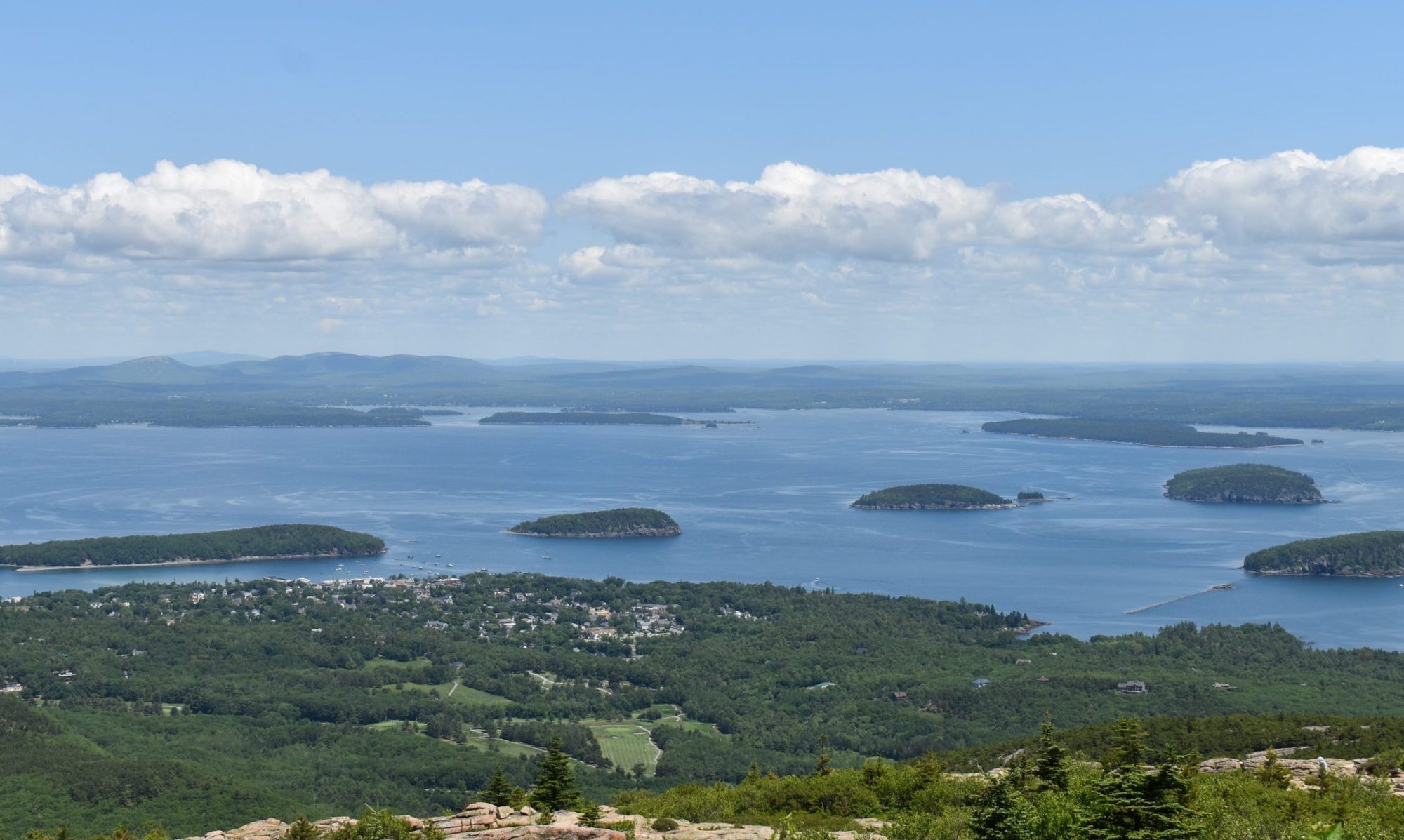
Norumbega Mountain Trail is a moderately trafficked trail that is located near Northwest Harbor. The trail is a nice walk through the woods then the tree thins out leading up to Norumbega Mountain Peak giving great views of the park. The Norumbega Mountain Trail connects to the Goat Trail, Golf Course Trail, and Hadlock Pond Trail. The Norumbega Mountain Trail is rated a moderate difficulty.

Parking is at Norumbega Mountain Pull off Parking Area then walk down Goat Trail.

Check out our archive page to see older versions of this TrailView! An updated TrailView is coming soon to this page.

Trail Stats

Length 1.2 mi
Difficulty Medium
Elevation Gain 700 ft
Elevation Loss 60 ft

Find trails similar to this one by clicking the options below:

See how this trail has evolved over the years by looking at old TrailViews:
How would you rate this trail?

Golf Course Trail

Golf Course trail is a short trail that branches off of Norumbega Mountain Trail. It does a loop after coming to the golf course and goes through part of the golf course back to Norumbega Mountain Trail. Parking for this trail is at Norumbega mountain parking off of route 3. There is a hike to get to this trail.

Check out our archive page to see older versions of this TrailView! An updated TrailView is coming soon to this page.

Trail Stats

Length 0.6 mi
Difficulty Hard
Elevation Gain 490 ft
Elevation Loss 0 ft

Find trails similar to this one by clicking the options below:

Difficulty
Elevation Gain

See how this trail has evolved over the years by looking at old TrailViews:

How would you rate this trail?

Goat Trail

Goat Trail is a moderately trafficked trail that is located near Northeast Harbor. Goat Trail is a steep trail that goes up to Norumbega Mountain. It is a rocky path that is quite physically demanding but it is worth it for the views you get along the trail and at the peak of Norumbega Mountain. Goat Trail connects to Norumbega Mountain Trail and Norumbega Connector.

Parking is at Norumbega Mountain Pull off Parking area on State Route 3.

Check out our archive page to see older versions of this TrailView! An updated TrailView is coming soon to this page.

Trail Stats

Length 0.6 mi
Difficulty Hard
Elevation Gain 580 ft
Elevation Loss 10 ft

Find trails similar to this one by clicking the options below:

Difficulty
Elevation Gain

See how this trail has evolved over the years by looking at old TrailViews:

How would you rate this trail?

Hadlock Ponds Trail

Hadlock  Pond Trail is a moderately trafficked trail that is located near Northeast Harbor. The trail is a nice hike by Upper Hadlock Pond that goes through the woods and along the pond. The Hadlock Pond Trail connects to Hadlock Brook Trail, Hadlock Loop, Norumbega Mountain Trail, and Lower Hadlock Pond Trail.

Parking is at Hadlock Pond Trail Parking Area off of State Route 3.

Check out our archive page to see older versions of this TrailView! An updated TrailView is coming soon to this page.

Trail Stats

Length 1.6 mi
Difficulty Easy
Elevation Gain 240 ft
Elevation Loss 140 ft

Find trails similar to this one by clicking the options below:

Difficulty
Elevation Gain

See how this trail has evolved over the years by looking at old TrailViews:

How would you rate this trail?